Swiss Precision
LiDAR Mapping

Driven by Helimap System® Technology

The Helimap System® is a pioneering technology rooted in heliborne lasergrammetry (LiDAR) and digital photogrammetry. Engineered in collaboration with the photogrammetry and topometry laboratories of the Swiss Federal Institute of Technology Lausanne (EPFL), our state-of-the-art system ensures precise and accessible data acquisition, even in challenging terrains.

Experience & expertise
LiDAR & Pphotogrammetry
Data acquisition
Terrestrial acquisition
Aerial acquisition

Experience and Expertise

Having started in 2003 as a LiDAR pioneer, and evolving into a public limited company by 2008, we bring over 15 years of industry-leading expertise to your projects.

Components​

  • Laser scanners Riegl: Up to 2 Mio points/sec measurement
  • PhaseOne digital cameras: 80-150 MPix, 55-65° aperture
  • Navigation Grade IMU: IXBLUE
  • GNSS receiver: Tri-frequency (GPS-GLONASS-GALILEO)
  • Thermal camera: Flir SC655
  • Up to 4 oblique cameras: 18-50 Mpix
  • Video: Up to 6 GPS-synchronized 4K videos
  • 360° panoramic camera
  • Additional customizable sensors as per project requirements.

Systems

We have 7 LiDAR-photogrammetric systems adaptable for various platforms, ensuring flexibility and global readiness for any project.

LiDAR & Photogrammetry

Advantages of the LiDAR-photo combination:

  • High-fidelity DTM/DSM measurements
  • High point density of up to >800 pts/m2
  • High-resolution orthophotos and photointerpretation
  • Point cloud colorization using oriented raw images

LiDAR (Light Detection and Ranging) scans the earth’s surface with laser pulses to create a dense, accurate three-dimensional point cloud. It is especially potent in capturing terrains obscured by dense vegetation.

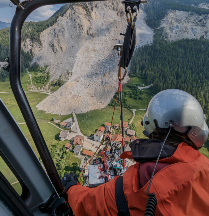
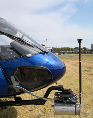
Photogrammetry is a remote sensing technology based on the acquisition of digital images of the earth from different points of view. By correlation calculation, 3D models are derived as well as orthoimages (orthorectified & georeferenced images).

This technical approach generates products that are easily interpretable, even by a non-expert eye. In combination with LiDAR these technologies form the basis of modern digital cartography.

Data Acquisition

Aerial Geodata Acquisition

Fast, accurate & flexible

The Helimap System® is a pioneering technology rooted in heliborne lasergrammetry (LiDAR) and digital photogrammetry. Engineered in collaboration with the photogrammetry and topometry laboratories of the Swiss Federal Institute of Technology Lausanne (EPFL), our state-of-the-art system ensures precise and accessible data acquisition, even in challenging terrains.

  • Ideal for corridors & surfaces
  • High precision / resolution (1-10 cm)
  • Oblique or vertical operation during the same flight
  • Constant accuracy regardless of slope
  • No calibration required during installation
  • Easy and inexpensive worldwide deployment
  • Mapping of complex and inaccessible areas
  • Non-invasive survey
  • Short installation time (60 min) between the arrival of the helicopter and the flight
  • Independence of helicopter type
  • System certified (STC EASA and FAA) on AS350/355, Robinson, Bell and any helicopter equipped with a winch

Vertical acquisition

Oblique acquisition

Acquisition by UAV

Acquisition by ultralight/aircraft

Terrestrial Geodata Acquisition

Mobile mapping on road, rail, boat or other carrier

The Helimap System® technology can also be deployed on land vehicles, trains or boats. An operational mode that perfectly complements aerial measurements by offering new perspectives, especially for engineering structures such as underpasses or tunnels.

Aerial survey performance

We like to quantify the performance of our systems based on the accuracy of the point cloud offered and the quality and resolution of the accompanying imagery.
The table below shows these values as a function of flying height for our airborne systems.

Cartographic accuracy is given by comparing measurements (laser/photogrammetric) with ground control points (GCP). Photogrammetric accuracy can be characterized by the planimetric comparison of points on the orthophoto. The accuracy of LiDAR is divided into 2 components: relative and absolute accuracy. The relative accuracy refers to the internal noise of the point cloud (independent of the trajectory), while the absolute component refers to the control points. Accuracy is always measured on a hard surface (1 sigma).

What is the difference between absolute and relative precision?

These two terms often cause misunderstandings which are even used intentially as selling arguments by software vendors, hardware producers or service providers. We believe it is important to make our customers aware of this fact.
Accuracy (or absolute precision) quantifies the degree of conformity of a measured quantity to the true value. Precision (or relative precision) quantifies the degree of repeatability of a measurement, i.e. the degree to which a subsequent measurement will give an identical result.

Figure: Relationship between accuracy and precision of a measurement

Need help with your project?

Contact us to know where and when we can help you

Sixense Helimap S.A.

Le Grand-Chemin 73
1066 Epalinges
Switzerland

+41 (0)21 785 02 02
+33 (0)5 35 00 42 06*

Mühlezelgstrasse 15
8047 Zürich
Switzerland

+41 (0)44 515 20 52

E-Mail: info@helimap.ch

Copyright 2023 Helimap

Sixense Helimap S.A.

Le Grand-Chemin 73
1066 Epalinges
Switzerland

+41 (0)21 785 02 02
+33 (0)5 35 00 42 06*

Mühlezelgstrasse 15
8047 Zürich
Switzerland

+41 (0)44 515 20 52

E-Mail: info@helimap.ch

Copyright 2023 Helimap

This website uses cookies and third party services. By continuing your navigation on this site, you accept their use to provide you with the best experience on our site. You can find more information about the cookies and services we use in our Legal notices. Ok