
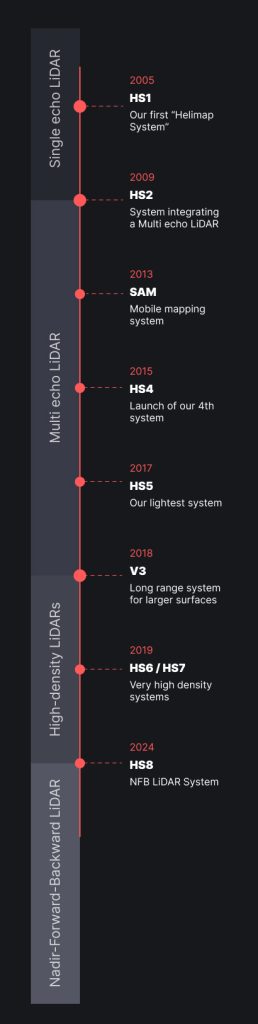
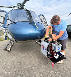
HS1 marked our first complete airborne LiDAR system. It introduced a lightweight platform for capturing topographic data with single-echo technology, opening the way for faster and more accurate mapping workflows.
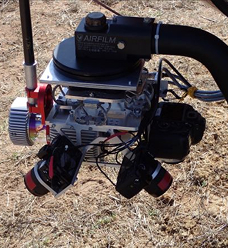
HS2 introduced multi-echo LiDAR integration, enabling the detection of multiple returns per pulse. This upgrade improved ground penetration in forested areas and generated richer datasets for terrain modeling.
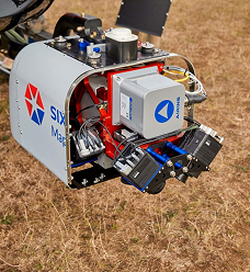
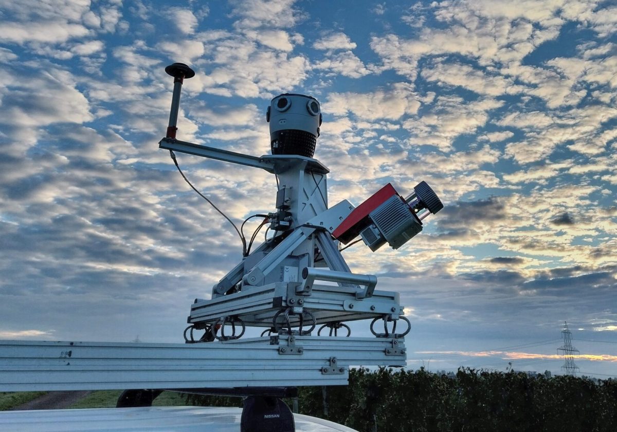
The SAM mobile mapping system expanded Helimap's equipment fleet with a solution that enabled the acquisition of high-precision kinematic LiDAR data from ground vehicles. It has been providing efficient corridor mapping for roads, railways, and urban environments.
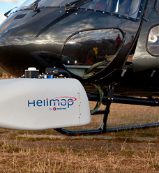
HS4 represented a major system refinement, offering improved stability, enhanced scanning performance, and an optimized workflow for airborne survey missions. It became a reliable platform for medium-scale mapping projects.
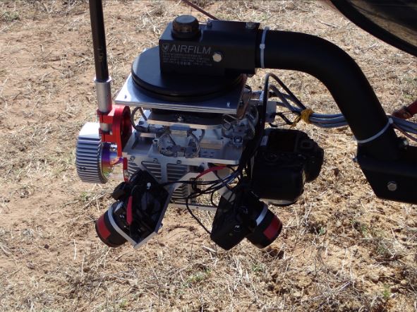
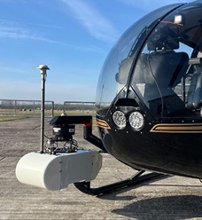
HS5 was engineered to be our lightest airborne LiDAR system to date. Its compact design made it ideal for UAV-based operations while preserving precision and high-density point capture.
V3 was developed for long-range LiDAR applications, allowing the efficient mapping of large surfaces and complex terrains. Its extended range makes it suitable for wide-area topographic and environmental monitoring.
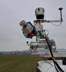
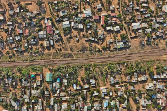
HS6 and HS7 introduced very high-density LiDAR acquisition, offering unprecedented point cloud resolution. These systems improved detail extraction for engineering, infrastructure inspection, and urban 3D modeling.
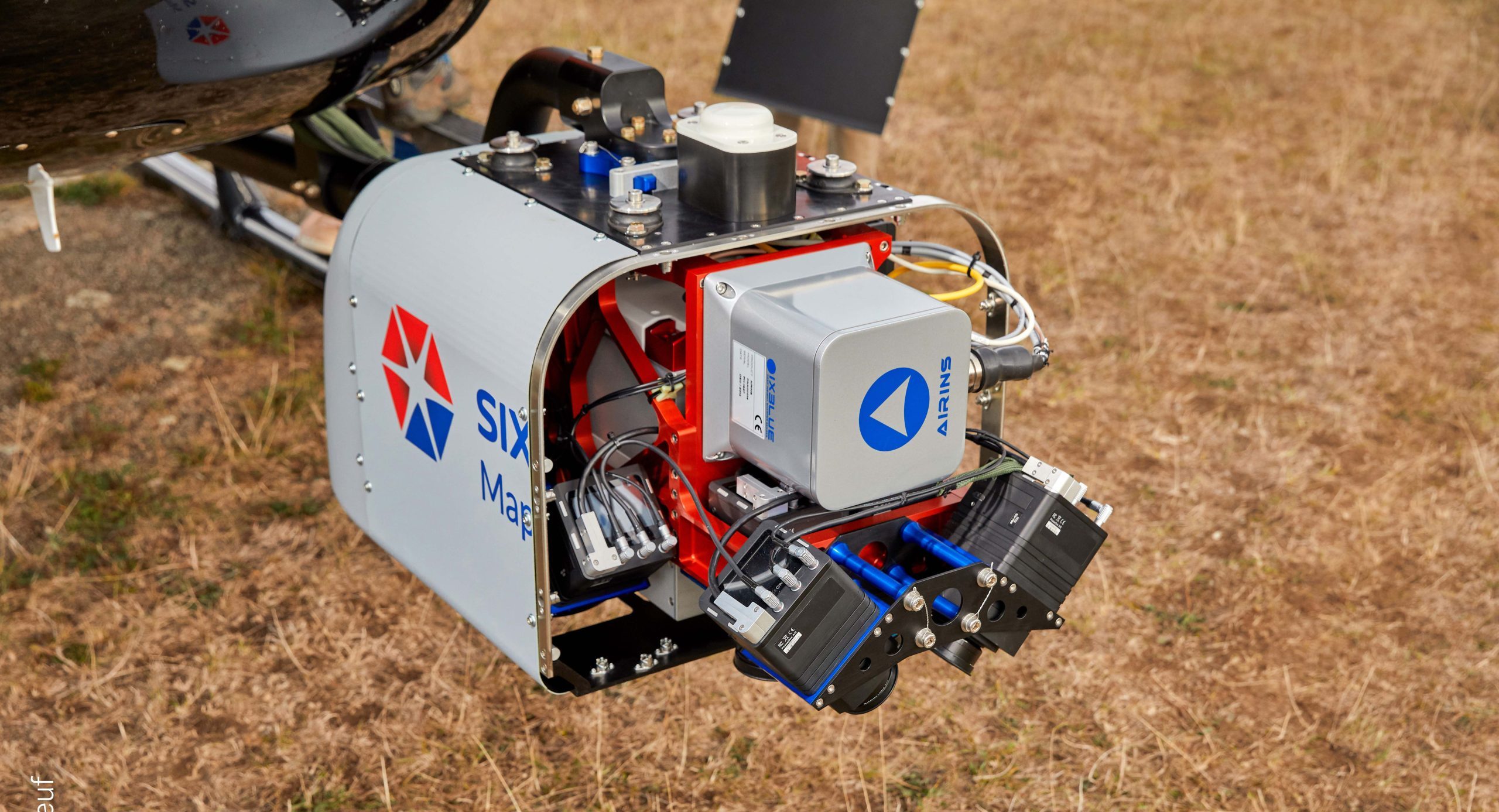
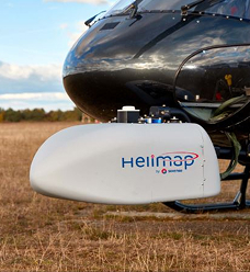
HS8 introduced the Nadir/Forward/Backward configuration, achieving complete scene coverage with minimal occlusion. Its multi-directional scanning architecture delivers superior definition & completeness for advanced mapping missions.